Why National Park Borders Aren’t Enough to Protect Wildlife From Yellowstone to Yukon
The Yellowstone to Yukon Conservation Initiative connects habitats across North America, while a major Indigenous-led conservation proposal continues to advance amid a shifting political landscape.

Golden eagles tagged in Alaska’s Denali National Park and Preserve leave protected boundaries behind to reach their wintering grounds. Along their migration routes, they cross mountain ranges, vast grasslands, and official international borders. Yet, the moment these birds of prey—ostensibly safe on paper—cross the invisible line of the national park, they confront an entirely different landscape: power lines, highways, and industrial facilities. In some wintering areas outside protected zones, utility poles have posed a known, deadly threat to these birds for years.
The answer was not to build higher fences around the national park. Scientists supported by NASA’s Earth Action Ecological Conservation program combined GPS tracking data from the eagles with satellite observations from Landsat, the Moderate Resolution Imaging Spectroradiometer (MODIS), and the Global Precipitation Measurement mission. While GPS tracking mapped the birds' exact routes, satellite observations revealed how vegetation, snow cover, and seasonal conditions influenced their journey. Once it was determined which utility poles posed an electrocution risk during the winter months, this data guided mitigation efforts to retrofit poles along the eagles' flight paths, reducing the risk of electrocution.
A portion of the movement data from Denali's tracked eagles also appears in a new visualization for the Room to Roam: Y2Y Wildlife Movements project, led by Ohio State University and funded by NASA. By examining the movements of bears, wolves, caribou herds, and birds, this work exposes the stark contrast between official protected boundaries and the true ranges of wildlife. For much of the past century, conservation efforts have focused on protecting individual areas. But wildlife conservation also depends on what happens between those protected spaces. Golden eagles, grizzly bears, and wolves often rely on habitats that extend far beyond a single park. The continuation of genetic diversity, the seasonal search for food, and the ability of species to adapt to climate change depend on uninterrupted movement.
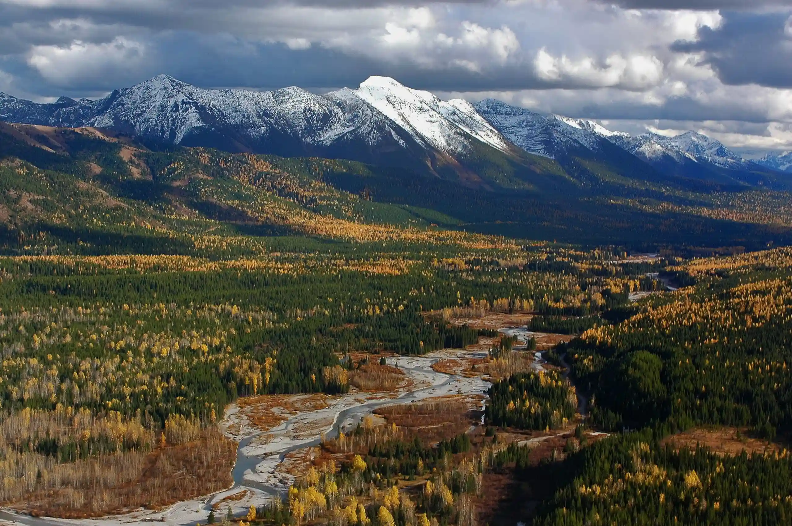
The Yellowstone to Yukon Conservation Initiative (Y2Y), which has been operating for over three decades along the Rocky Mountains—the western spine of North America—is rooted in the idea of connecting nature on a continental scale rather than defending it as isolated islands. A joint partnership between a U.S. non-profit and a Canadian public charity, this initiative treats the mountain ecosystem stretching from the Greater Yellowstone Ecosystem to Canada's Yukon as a single, continuous corridor of life.
Boundary Breakers and the Climate Tipping Point
Behind this idea of scale lies the story of another animal that, much like the golden eagle, rendered human-made borders meaningless. "Pluie," a female wolf who inspired the Y2Y vision that co-founder Harvey Locke first sketched onto a map during a wilderness trip in 1993, was collared in Alberta in 1991. In the period that followed, she roamed across roughly 100,000 square kilometers, crossing the international border between the U.S. and Canada, multiple state and provincial lines, and over 30 political jurisdictions. She demonstrated just how vast a geography a single wolf requires to survive.
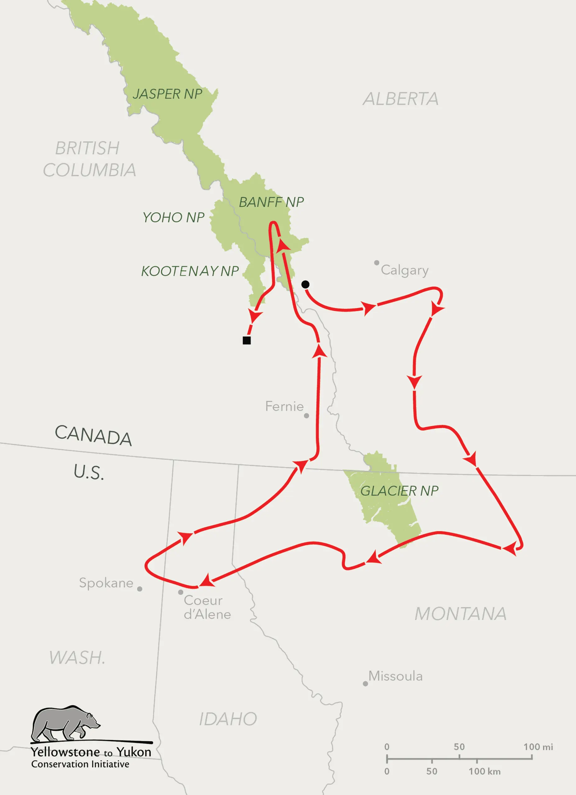
In a written response provided to The Great Planet, Y2Y President and Chief Scientist Dr. Jodi Hilty summarizes this geographic reality:
"Yellowstone to Yukon has shown us all something important: protecting nature at a truly large scale is possible. It takes people who are willing to look beyond boundaries and work together toward a shared future. We know the future of our planet will be decided by what we all choose to do together."
The initiative behind this vast network of partnerships Hilty speaks of was selected as one of three finalists in the "Protect and Restore Nature" category for The Earthshot Prize, with winners to be announced at a ceremony in Mumbai on November 17, 2026. Founded by Prince William, the prize applied the "positive tipping point" approach for the first time this year when selecting finalists, referring to the potential of positive planetary repair to sustain its own momentum by 2030 and unlock wider environmental transformation.
This vision of accelerating positive change is reflected in Y2Y's research on how large-scale conservation can also advance climate action.
“For too long, climate action has been framed as something we have to give up as a sacrifice, a cost, a constraint. What this research shows is something fundamentally different. We took the framework that conservation and climate action are two expressions of the same underlying need,” says Dr. Graham McDowell, Y2Y’s Director of Science and Knowledge. “The Y2Y region is more than a large-scale conservation example; it’s proof of this concept for a global strategy.”
According to figures shared by Y2Y with The Great Planet, the importance of this landscape is also reflected in climate research. Although the Yellowstone to Yukon region covers only about 7 percent of the land area of Canada and the U.S., it stores roughly 13 percent of the two countries’ natural carbon. Each year, the region absorbs carbon equivalent to more than 80 percent of emissions from Canada’s passenger vehicles, highlighting the climate significance of its forests, wetlands, peatlands, and soils.
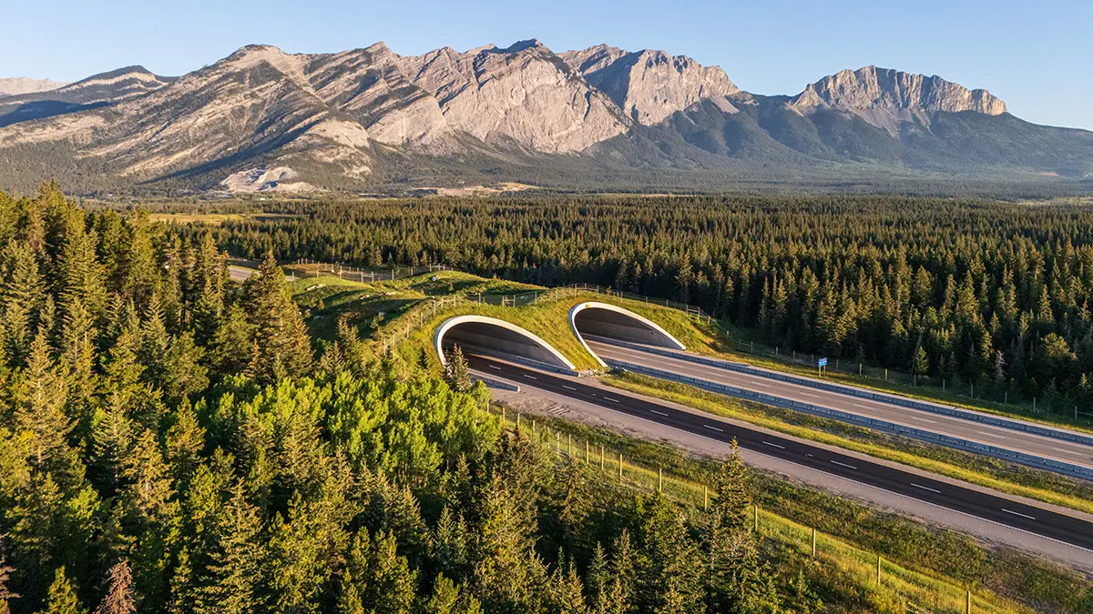
Through three decades of work by Y2Y and its more than 800 local, national, and scientific partners, the initiative has contributed to the conservation of approximately 25 million hectares across the region. The development of more than 200 wildlife crossings has been supported, allowing animals to safely navigate highways. Thanks to this network woven by the collaborative efforts of hundreds of local communities, the distance between isolated grizzly bear populations in the U.S. has dropped from 240 kilometers to 75 kilometers. Meanwhile, in the Canadian province of British Columbia, the Klinse-Za caribou herd—once on the brink of extirpation—grew from a mere 38 individuals in 2013 to 187 in 2025.
Dene K’éh Kusān: Between Conservation Areas and Mining Maps
The recovery of the Klinse-Za caribou also highlights the importance of Indigenous-led conservation across the region. This immense geography is not an empty, untouched wilderness; it intersects with the traditional territories of more than 75 Indigenous communities. In this process, Y2Y aims to bring together Western science and Indigenous and local knowledge, working with communities to align ecological protection with local priorities. According to Y2Y, Indigenous, local, and national governments have agreed on the protection of 7.3 million hectares across the region, although these areas are still awaiting formal designation. Across more than 8.1 million hectares, active conservation planning is advancing under Indigenous leadership.
One of the most striking examples of this process is the approximately 3-million-hectare Dene K’éh Kusān region in northwestern British Columbia. Meaning "Always Will Be There" in the Kaska language, this basin is characterized as the province’s largest intact, roadless wilderness. Home to grizzly bears, Stone’s sheep, moose, and seven caribou herds, this geography is described as "the beating heart of the Yellowstone to Yukon region."
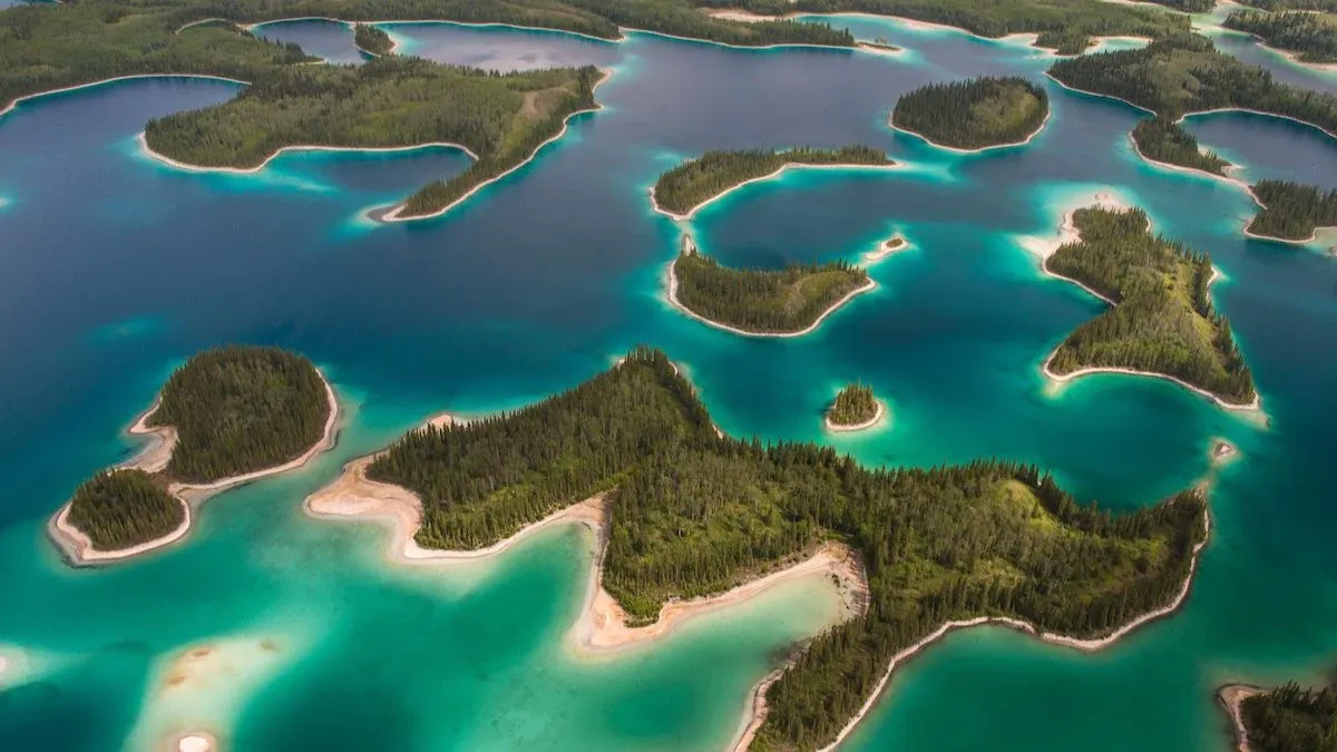
The draft land-use plan, opened for public comment in July 2026, proposed permanent protection for Dene K’éh Kusān. The Kaska-led proposal remains active, although British Columbia's October 24 election delayed efforts to finalize the plan. Liard First Nation Chief Harlan Schilling has called on the incoming government to extend temporary restrictions on new mineral claim registrations, currently scheduled to expire on January 31, 2027. The final designation of the protected area remains pending, and the new government's approach has yet to be determined.
According to the Dena Kayeh Institute, a Kaska-led organization, the proposed conservation boundaries were designed to minimize overlap with existing mining and oil and gas extraction sites while protecting the region's biodiversity. Forestry tenure areas, meanwhile, were positioned just outside the conservation borders. The plan seeks to protect the region’s ecosystems and water sources while allowing surrounding economic activities to provide employment and income opportunities for Kaska communities.
Beyond the Prize
The Earthshot Prize awards £1 million in funding to the winner of each category. Whether Y2Y wins this prize or not, its thirty years of experience already offer a crucial blueprint for how large-scale conservation efforts can be implemented in other regions across the globe.
Protecting golden eagles migrating from Denali requires connecting satellite observations with practical measures to reduce electrocution risks on the ground. Protecting the vast forests and watersheds of the North requires complex negotiations over land use, mining, logging, and natural gas development. The corridor stretching from Yellowstone to Yukon proves that conservation is no longer just about drawing lines around untouched areas; it is about forging the connections wildlife needs to move, directly within the landscapes where people live and economies operate.